1ST GEOSPATIAL TECHNOLOGY EXHIBITION & CAREER FAIR
DEPARTMENT OF GEOGRAPHY AND RESOURCE DEVELOPMENT, UNIVERSITY OF GHANA, LEGON
- Background
The First Geospatial Exhibition and Job Fair is a pioneering initiative to bridge the divide between emerging geospatial technologies and the talent pool that drives this dynamic sector. As the significance of geospatial data and applications continues to expand across various domains, including mining, agriculture, urban planning, environmental management, and disaster response agencies, the demand for skilled professionals is also rising. This is a match-making event intended to bring the industry suppliers, demanders, and learners together and to showcase advances in geospatial solutions while providing a platform for employers, researchers, and students to connect, collaborate, and explore career opportunities. By bringing together government agencies, private enterprises, and academic institutions, this exhibition and job fair will promote an exchange of knowledge, facilitate professional development, and support workforce growth within the geospatial community.
1.2 Objectives
The exhibition and career fair is meant to achieve the following specific objectives:
- Showcase the vast potential and economic impact of the geospatial industry across diverse sectors.
- Provide geospatial technology-related organizations the platform to outdoor themselves, showcase their solutions, and recruit the needed skills.
- Provide students and early-career professionals with direct exposure to potential employers and key industry players.
- Facilitate networking and collaboration between academia, government agencies, private companies, and recruitment specialists.
- Promote awareness of emerging geospatial technologies and their real-world applications.
- Support workforce development by connecting job seekers with internships, placements, and career opportunities.
- Foster knowledge exchange through panel discussions, workshops, and live demonstrations.
1.3 Activity Plan
One (1) day event.
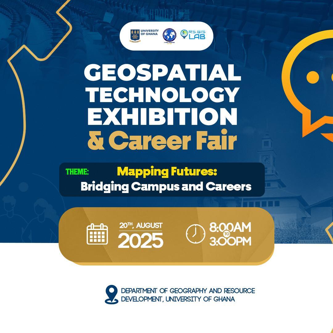
Proposed date: 20th August 2025
Venue: Department of Geography and Resource Development, University of Ghana, Legon.
Theme: Mapping Futures: Bridging Campus and Careers
Event Day
- Setup and Registration (Morning)
The event will commence with a comprehensive setup phase in the morning, where we will prepare exhibition booths that are equipped with necessary signage and registration desks. Our team will ensure that the venue is organized and visually appealing, including the arrangement of exhibition materials for exhibitors. This initial interaction is crucial in setting a positive tone for the event and ensuring that participants are well-informed about the schedule and key highlights.
- Opening Ceremony
A brief yet impactful welcome speech will be delivered by a resourceful person, highlighting the core objectives of the event and outlining the agenda for the day. This speech will emphasize the significance of the gathering in advancing discussions around geospatial technologies and solutions, and it will foster enthusiasm among attendees. Invited speakers may include industry leaders or key stakeholders who can inspire participants with their vision for the future of the geospatial sector.
- Exhibition & Demonstrations
During the exhibition portion, exhibitors will showcase cutting-edge geospatial technologies and solutions across various sectors, such as agriculture, urban planning, environmental monitoring, and transportation. This segment encourages engagement between exhibitors and attendees, facilitating valuable conversations and providing firsthand insights into innovative products and services that are shaping the industry.